


 24/7 Emergency Service
Types of Thunderstorms
7/25/2022 (Permalink)
 If storms lead to storm DAMAGE, trust SERVPRO of North Pensacola to help!
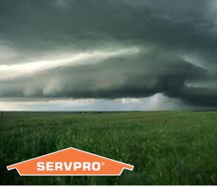
Thunderstorms are common occurrences in Northwest Florida, especially during the spring and summer months. While residents of Escambia County and surrounding areas are accustomed to thunderstorms rolling through, many may not be aware that there are different kinds of thunderstorms, and each carries a varying level of severity. To best prepare for the effects that these storms can have, AND keep yourself and your loved ones safe, it is important to understand the various thunderstorm types:
Ordinary Cell
Also known as a “pulse” thunderstorm, this is a single-cell storm. These types of thunderstorms are generally short lived, and while gusty winds or hail can develop, they are typically not severe. Thunderstorms of this type do have the potential to develop additional cells under the right atmospheric conditions but are generally less severe and dangerous that other types.
Multi-Cell Cluster
These types of thunderstorms form when multiple ordinary cell storms, which are in various stages of development, merge together. Depending on atmospheric conditions, these storms can vary greatly in the amount of rainfall dropped over any one area. Multi-cell clusters can produce flash flooding conditions and should be closely monitored.
Multi-Cell Line (Squall Line)
When thunderstorms form in a line, they can sometimes stretch for hundreds of miles. These multi-cell lines can produce damaging winds, hail, occasional tornadoes, and heavy rainfall. Long lived, strong squall lines can produce considerable, widespread damage.
Supercell Thunderstorms
Supercell thunderstorms are highly organized, special single cell thunderstorms that can persist for many hours. These storms are known to produce extreme winds, flash flooding, large hail, and account for nearly all the significant tornadoes in the United States. The shape of the storm helps to determine the amount of precipitation generally associated with the supercell. Storms like these can be extremely unpredictable and dangerous; oftentimes these will be associated with severe thunderstorm warnings from your local weather authority.
In the unfortunate event that a thunderstorm, or other weather phenomena, causes damage to your home or business, trust SERVPRO of North Pensacola to help. Serving the communities of Ferry Pass, Cottage Hill, and surrounding areas, our team takes great pride in providing the highest possible level of customer service when disaster strikes. To learn more about our storm damage response, request assistance, or for any other questions, please give us a call: 850-466-3076.